
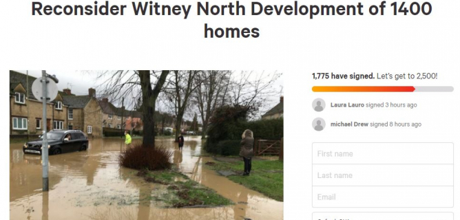
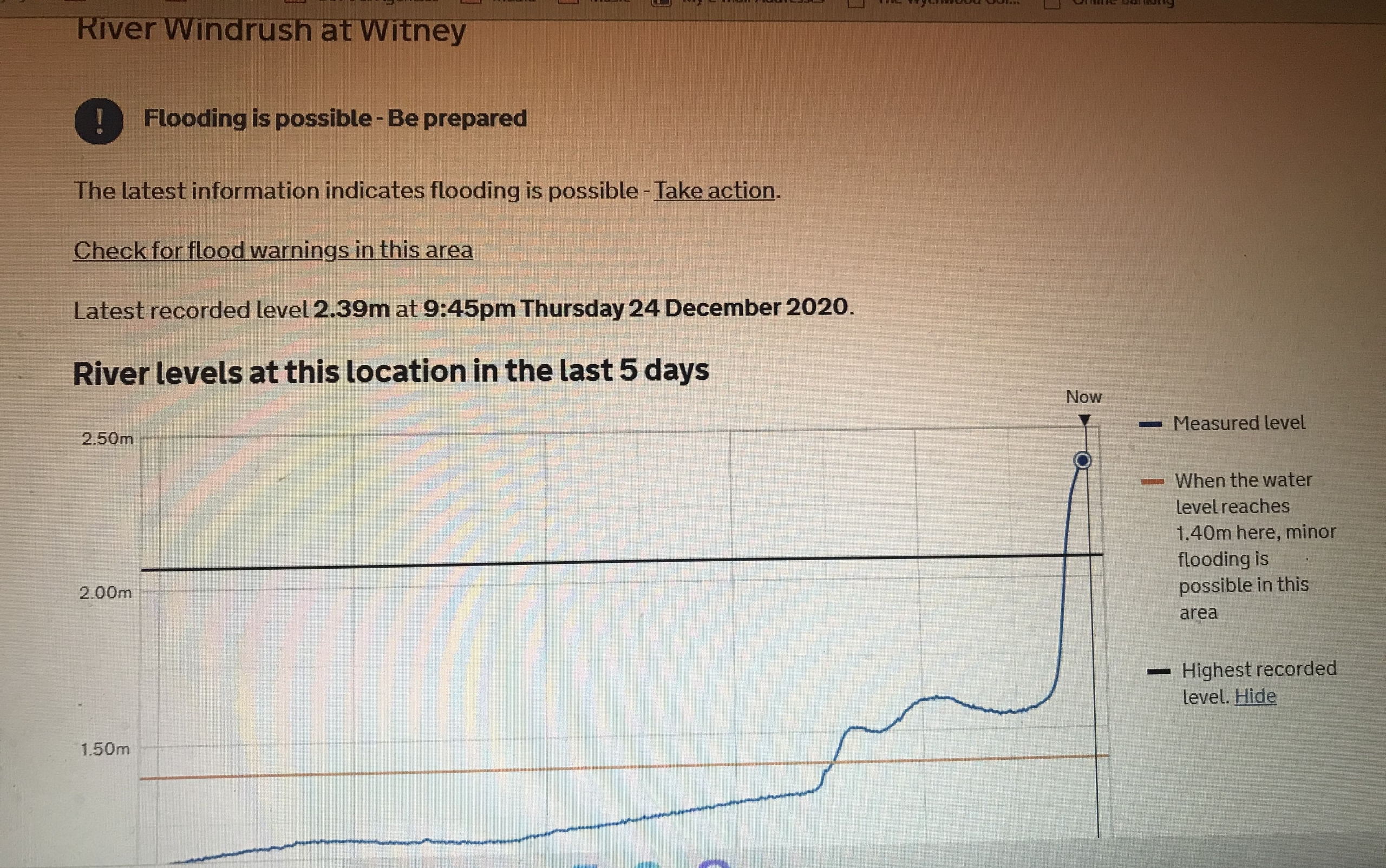
An extraordinary day should not end in flooding
In 10 years of investigating the published evidence, NWAG has established that the proposed site will cause an increased flooding risk, a doubling of traffic levels in North Witney, potential air quality issues in West End, and destroy a landscape that WODC agrees should be protected. In that 10 year period, despite the publishing of many papers, reports and documents, there have been no solutions found for any of these problems.
Why we exist
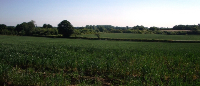
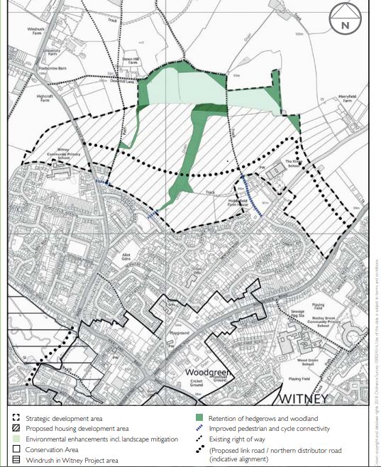
NWAG was formed by local residents in 2014, when WODC's first Draft 2031 Local Plan earmarked the fields between Woodstock Road, New Yatt Road and Hailey Road for up to 1,400 houses. The site lies in Hailey Parish, on the northern edge of Witney.
Since then: ten Local Plan consultation responses, an objection to every planning application, and a petition that reached 1,775 signatures — past the threshold at which WODC must formally reconsider. Throughout, our discipline has been to use only evidence from authoritative sources: Oxfordshire County Council, West Oxfordshire District Council, Thames Water, the Environment Agency, the National Planning Policy Framework, and the developers' own documents.
We exist to put that evidence before the public, and to hold the Consortium to the commitments it made in writing in 2009. If the West End Link cannot be funded and delivered, the North Witney SDA has no place in the Local Plan.
The case
Flooding
The site sits on Blue Oxford Clay above a culverted drain that EA reports say posed "the biggest threat to life" in 2007. No solution has been found.
Traffic & the West End Link
OCC modelling shows traffic more than doubling on Hailey Road and Farmers Close — while the £23m WEL2 removes just 10% from Bridge Street.
Landscape
WODC's own Kirkham Report calls it "worth preserving" — farmland of high landscape sensitivity, carved out of the old Wychwood Forest.
Latest submission
Response to questions 11 & 12 of the WODC 2043 Local Plan Consultation
The North Witney Action Group strongly opposes the inclusion of the North Witney Strategic Development Area in the 2043 Local Plan. Audited infrastructure costs of £91.3m — a £73,000 levy per dwelling — the developer's hesitance over WEL2, and the Consortium's fragmentation all point one way: the NWSDA should be removed from the Local Plan.
News
NWAG comments on the Consortium's reviewed application
26 August 2026 — "The sole reason this new Application is tilted towards Active Travel England is not altruistic but in the hope that WEL will be removed because, as has always been the case, this SDA is not viable."